Services
Flexible business services for individuals, startups, consultants, and established brands.
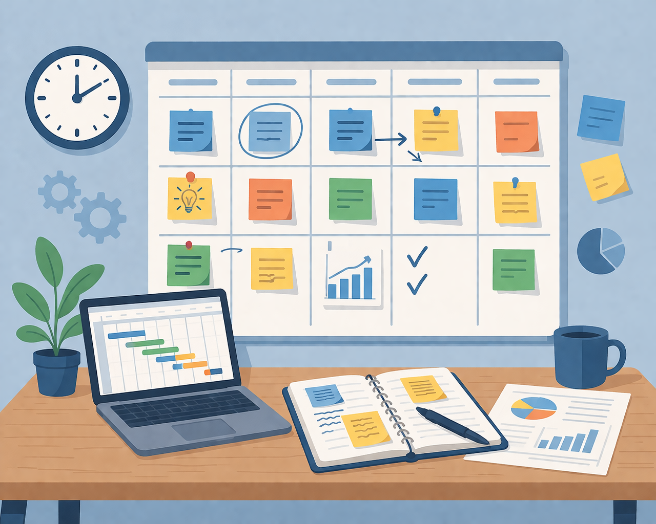
Project Planning and Coordination
Support technical projects from planning through coordination, documentation, and team alignment.
This service focuses on supporting projects from the planning stage through implementation by improving structure, timelines, communication, and task coordination. It includes work planning, activity scheduling, team coordination, progress tracking, documentation, and follow-up on key deliverables. The goal is to help ensure that projects move smoothly, responsibilities are clear, and execution stays aligned with project objectives.

Data Analysis and Reporting
Turn raw technical or operational data into useful insights, reports, and decision-ready outputs.
This service includes data processing, statistical analysis, reporting, and insight generation using tools such as Excel, R, and Python. It is suitable for operational datasets, technical project data, geospatial records, and monitoring information where clear reporting and evidence-based interpretation are needed to support decisions.

GIS and Spatial Analysis
Use spatial data to solve location-based problems, improve planning, and support better decisions.
This service covers spatial data analysis, thematic mapping, geospatial visualization, and geographic information management for projects that depend on location intelligence. It can support infrastructure planning, environmental assessment, site suitability studies, network mapping, and operational analysis using GIS tools and structured geospatial workflows.

CAD Design and Technical Drawings
Produce precise technical drawings for infrastructure design, execution, and record keeping.
This service covers technical drawing production using CAD tools for execution plans, duct layouts, cable routing plans, permit drafts, and infrastructure layouts. It also includes as-built plans and technical documentation that help ensure design clarity, field alignment, and reliable project records.

Spatial ML and AI Solutions
Apply machine learning and AI tools to improve spatial prediction, classification, and planning efficiency.
This service covers spatial predictive modeling, geospatial classification, AI-assisted site analysis, route optimization support, and Python-based analytics pipelines. It is ideal for projects looking to combine GIS, remote sensing, and data science to improve forecasting, automate repetitive analysis, and strengthen planning accuracy.

Fiber Network Planning
Plan efficient, compliant, and well-documented fiber network routes for rollout and expansion projects.
This service focuses on FTTx and FTTH planning, route design, route optimization, and deployment support for underground and aerial cable infrastructure. It includes route layout development, planning logic for rollout efficiency, and documentation that supports field execution while aligning with technical and regulatory requirements.