 Project
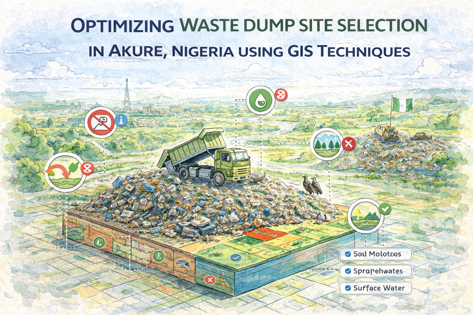
Optimizing Waste Dump Site Selection in Akure, Nigeria Using GIS Techniques
This project explores the application of Geographic Information Systems (GIS) and remote sensing techniques in identifying environmentally suitable waste disposal sites within Akure Metropolis, Ondo State, Nigeria. Rapid urbanization and population growth in the region have significantly increased waste generation, making efficient and sustainable waste management a critical concern.
Problem Statement
Indiscriminate waste disposal and open burning are common practices in many developing urban centers, including Akure. These methods contribute to environmental degradation, air pollution, groundwater contamination, and public health risks. The challenge addressed in this study is the identification of safe, sustainable, and scientifically suitable landfill locations.
Objective
The main objective of the project was to demonstrate how GIS-based spatial analysis can be used to:
- Identify suitable landfill locations
- Incorporate environmental, geological, and urban planning criteria
- Support sustainable waste management decisions
Study Area
The research focuses on Akure Metropolis, a rapidly growing city in southwestern Nigeria. The area is characterized by:
- Increasing urban expansion
- Mixed land use (built-up, vegetation, bare land, and rock outcrops)
- Complex geological formations, including migmatite-gneiss and granitic rocks
Methodology
The study employed a GIS-based multi-criteria evaluation (MCE) approach. Key steps included:
- Acquisition of spatial datasets such as:
- LANDSAT imagery (30m resolution)
- SRTM elevation data
- Geological and topographic maps
- Data preprocessing:
- Image correction and enhancement
- Layer extraction (slope, land use/land cover, geology)
- Spatial analysis:
- Weighted overlay techniques
- Suitability classification based on environmental and planning criteria
- Criteria considered:
- Distance from residential areas, roads, and water bodies
- Slope (preferably <10%)
- Land use/land cover (preference for bare land and grassland)
- Geological stability
Key Findings
- Built-up areas cover approximately 45% of the study area, while bare land and vegetation provide more suitable zones for landfill siting.
- Areas farther from the city center were found to be more suitable due to reduced environmental and social impact.
- Low-slope regions were identified as optimal for landfill development to minimize erosion and pollution risks.
- Geologically stable zones underlain by migmatite-gneiss were considered most appropriate due to low permeability and reduced groundwater contamination risk.
Results
The analysis produced a suitability map highlighting optimal landfill locations that:
- Meet international environmental standards
- Minimize health and ecological risks
- Support efficient waste transportation and management
Several potential sites were identified at safe distances from urban centers, ensuring reduced exposure to pollution and improved sustainability.
Conclusion
The study demonstrates that GIS is a powerful decision-support tool for environmental planning. By integrating spatial data and multi-criteria analysis, it enables efficient identification of suitable landfill sites while reducing time, cost, and environmental risks.
Although GIS provides strong preliminary insights, the study emphasizes the importance of field verification and geotechnical investigations before final site selection.
Project Details
- Client:
- Date: Oct 15, 2018
- Technologies: ArcGIS, QGIS, Microsoft office , LANDSAT & SRTM