 Dashboards
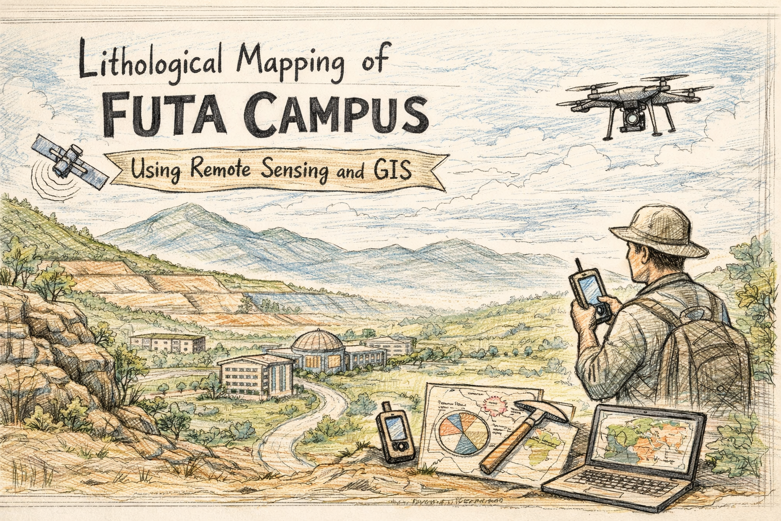
Lithological Mapping of FUTA Campus Using Remote Sensing and GIS
Project Overview
This project presents an integrated approach to lithological mapping of the Federal University of Technology, Akure (FUTA), using advanced Remote Sensing and Geographic Information System (GIS) techniques. The study explores how modern geospatial technologies can improve the accuracy, efficiency, and cost-effectiveness of geological mapping compared to traditional field-based methods.
Background
Lithological mapping—identifying and classifying rock types—is fundamental to geological studies, mineral exploration, and environmental analysis. Traditionally, this process relies heavily on field surveys, which are time-consuming, expensive, and prone to human error.
With the advancement of remote sensing technologies, satellite imagery and spectral analysis now provide powerful tools for mapping geological features over large and inaccessible areas. This project leverages these technologies to enhance lithological discrimination within the FUTA campus.
Aim and Objectives
The main aim of this study was to map and characterize rock types within the FUTA campus using remote sensing data and in-situ spectral measurements.
Key objectives included:
- Mapping rock types present in the study area
- Measuring spectral reflectance of identified rocks
- Performing lithological characterization using digital image processing techniques
Methodology
The study combined fieldwork, satellite data analysis, and laboratory measurements:
Data Sources
- ASTER satellite imagery (SWIR bands)
- Shuttle Radar Topography Mission (SRTM) DEM
- Geological and topographic maps
- Google Earth imagery
- Field data collected using GPS and geological tools
Techniques Applied
- Image Preprocessing (geometric and radiometric corrections)
- Principal Component Analysis (PCA) for dimensionality reduction
- Band Ratioing (BR) to enhance lithological differences
- Minimum Noise Fraction (MNF) to reduce noise and improve classification
- Spectral Analysis using an ASD Spectroradiometer (350–2500 nm range)
Field Validation
Ground truthing was conducted to validate satellite interpretations, ensuring accuracy in mapping and classification.
Results and Findings
The study successfully identified four major rock types within the FUTA campus:
- Granite
- Migmatite Gneiss
- Charnockite
- Quartzite
Each rock type exhibited distinct spectral reflectance characteristics influenced by:
- Mineral composition
- Grain size
- Surface conditions
- Moisture content
Key Insights
- Remote sensing techniques provided faster and more comprehensive mapping compared to conventional methods
- PCA and band ratioing significantly improved lithological discrimination
- Spectral radiometry enhanced mineral identification by analyzing reflectance patterns
- Integration of field data and satellite imagery produced highly reliable geological maps
Conclusion
This study demonstrates that remote sensing and GIS are powerful tools for lithological mapping, offering clear advantages over traditional methods in terms of speed, cost, and accuracy.
By combining satellite imagery, spectral analysis, and field validation, the research provides a robust framework for geological mapping that can be applied to other regions and studies.
Project Details
- Client:
- Date: Jun 15, 2016
- Technologies: ArcGIS (ArcMap 10.2) ERDAS Imagine (v9.1) ILWIS (v3.3) ENVI (v5.0) Microsoft Office