 Dashboards
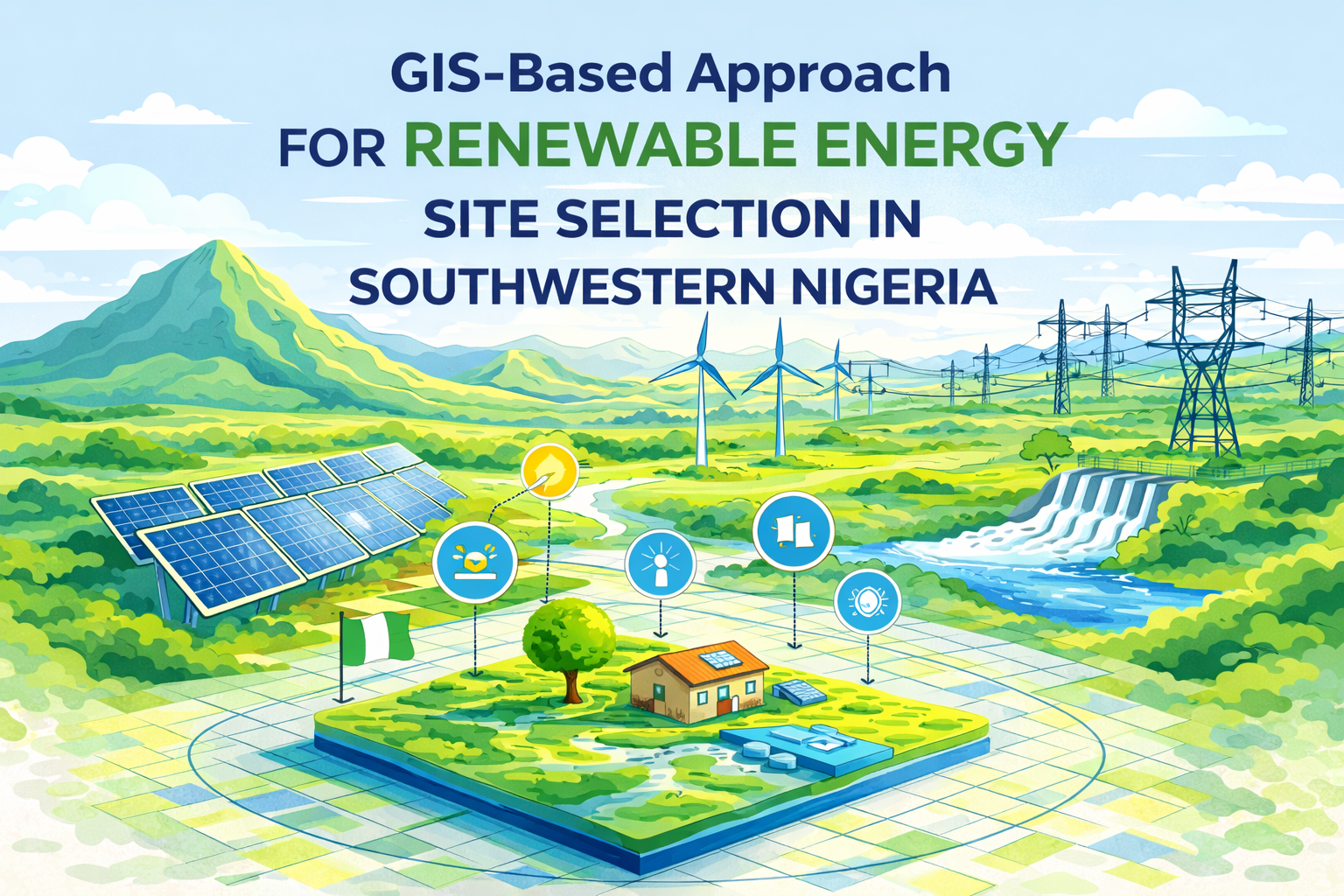
GIS-Based Approach for Renewable Energy Site Selection in Southwestern Nigeria
Introduction
Energy access remains one of the most critical challenges facing Nigeria today. Despite having vast natural resources, the country struggles with insufficient and unreliable electricity supply, with generation falling far below national demand.
This project explores how Geographic Information Systems (GIS) can be used as a powerful decision-making tool to identify optimal locations for renewable energy development—specifically solar and wind power plants—in Southwestern Nigeria.
Project Objective
The main aim of this study was to identify the most suitable locations for renewable energy installations using GIS-based spatial analysis techniques.
To achieve this, the study:
- Evaluated geographic and environmental conditions
- Considered socio-economic and infrastructural factors
- Eliminated unsuitable regions (e.g., urban areas, water bodies, protected zones)
- Produced suitability maps for solar and wind energy development
Study Area
The research focused on the Southwestern region of Nigeria, covering six states:
- Lagos
- Ogun
- Oyo
- Osun
- Ondo
- Ekiti
This region was selected due to its rapid urbanization, industrial growth, and increasing energy demand.
Methodology
The study applied a GIS-based Multi-Criteria Decision Analysis (MCDA) approach using tools such as ArcGIS and QGIS.
Key steps included:
- Collection of spatial datasets (elevation, slope, solar radiation, wind speed, proximity to roads and power lines)
- Conversion of vector data into raster format
- Reclassification of data into suitability classes
- Application of weighted overlay analysis to generate final suitability maps
Important factors considered:
- Solar radiation (high = more suitable)
- Wind speed and elevation
- Slope (gentle slopes preferred)
- Proximity to infrastructure (roads, transmission lines)
Key Findings
The analysis revealed strong potential for renewable energy development across the region:
- Oyo State showed the highest suitability for solar energy, with about 26.7% highly suitable land area
- Ekiti State had the largest moderately suitable area for wind energy, due to favorable terrain
- Lagos State had limited suitability due to urbanization but showed some high wind potential near coastal areas
- Over 8,500 km² were identified as highly suitable for solar installations, while large areas were suitable for wind farms
Additionally, areas closer to power transmission lines and road networks were consistently identified as more suitable due to ease of connectivity and reduced infrastructure costs.
Significance of the Study
This research demonstrates how GIS can:
- Support data-driven energy planning
- Reduce investment risks in renewable projects
- Improve energy accessibility in both urban and rural areas
- Contribute to sustainable development and environmental protection
It also highlights the importance of transitioning from fossil fuels to cleaner energy sources in Nigeria.
Conclusion
The study confirms that Southwestern Nigeria holds significant potential for both solar and wind energy development. Through GIS-based analysis, it is possible to systematically identify optimal locations and guide large-scale energy investments.
While the results provide a strong foundation, further steps such as field surveys and updated data integration are recommended before implementation.
Final Thought
As energy demand continues to grow, integrating GIS with renewable energy planning offers a smart, scalable, and sustainable solution for powering Nigeria’s future.
Project Details
- Client:
- Date: Feb 20, 2020
- Technologies: ArcGIS, QGIS, Microsoft office