 Project
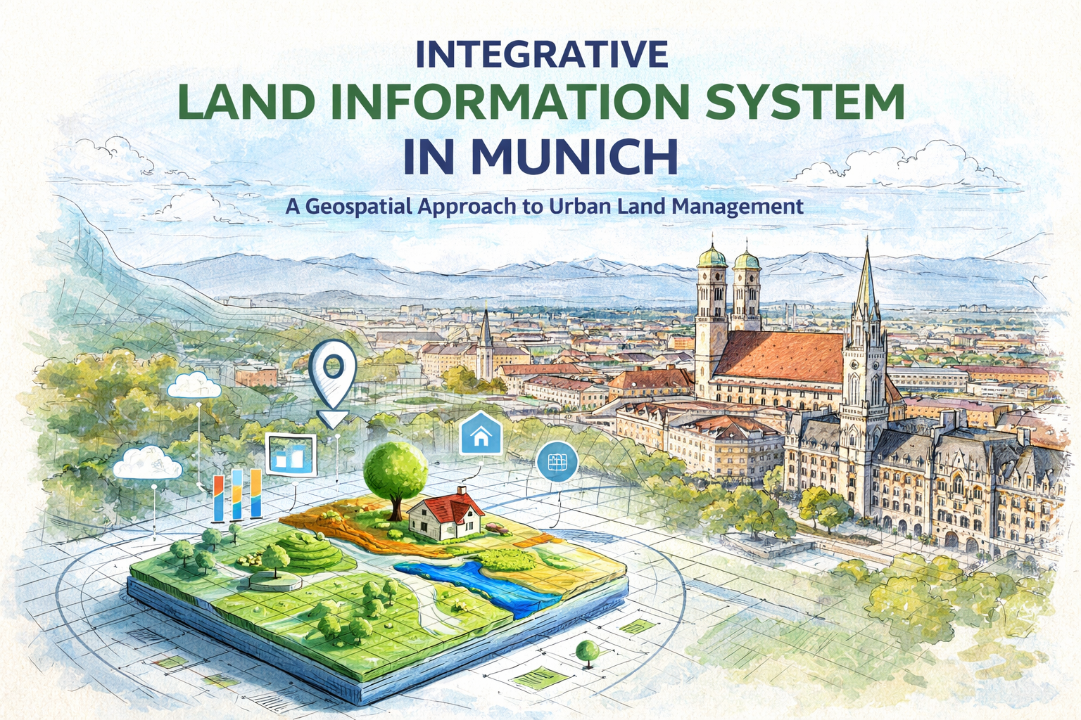
Integrative Land Information System in Munich
A Geospatial Approach to Urban Land Management
Overview
This project explores the development and application of an Integrative Land Information System (LIS) for a selected study area in Munich, Germany. The work demonstrates how geospatial technologies can be used to improve land administration, planning, and decision-making processes in urban environments.
The study was conducted as part of coursework in Land Administration and Land Information Systems, focusing on practical GIS analysis and spatial data integration.
Study Area
The selected site is located near Munich Central Station (Hauptbahnhof), within a dense urban setting. Key characteristics include:
- Approximate area: 187,083 m²
- Population: 10,222 inhabitants
- Proximity: ~650 meters from the city center transport hub
- Urban context: Highly developed infrastructure with road and rail networks
Munich, being one of Germany’s largest and most dynamic cities, provides an ideal environment for testing land information systems due to its complex spatial structure and high demand for efficient land management.
Methodology
The project followed a structured geospatial workflow involving data acquisition, processing, and analysis:
1. Data Collection
Spatial datasets representing:
- Road networks
- Rail infrastructure
- Elevation and terrain data
- Land use characteristics
2. Data Processing
Several GIS techniques were applied to transform raw data into meaningful outputs:
- Digital Elevation Model (DEM) generation
- Slope and terrain analysis
- Flow direction and flow accumulation modeling
- 3D visualization of the study area
- Buffer analysis for infrastructure (roads and railways)
3. Spatial Analysis
Hydrological and risk analyses were conducted to understand terrain behavior and infrastructure impact:
- Flow Direction: Determines how water moves across terrain
- Flow Accumulation: Identifies areas prone to water concentration
- Buffer Zones: Used to assess risk exposure around transport networks
Results and Insights
The project successfully demonstrates how GIS can integrate multiple spatial datasets into a unified system for analysis and decision-making.
Key outcomes include:
- Identification of terrain characteristics affecting water flow
- Visualization of urban infrastructure interactions
- Mapping of risk zones around roads and rail tracks
- Development of a 3D model for improved spatial understanding
These outputs highlight the importance of LIS in supporting urban planning, environmental management, and infrastructure development.
Conclusion
The Integrative Land Information System proves to be a powerful tool for modern land management. Compared to traditional surveying methods, GIS-based systems:
- Reduce time and cost
- Improve accuracy
- Minimize human error
- Enable advanced spatial analysis
This project reinforces the value of integrating geospatial technologies into government and planning systems, particularly in complex urban environments like Munich.
Project Details
- Client:
- Date: Jun 12, 2021
- Technologies: ArcGIS, QGIS, Microsoft office